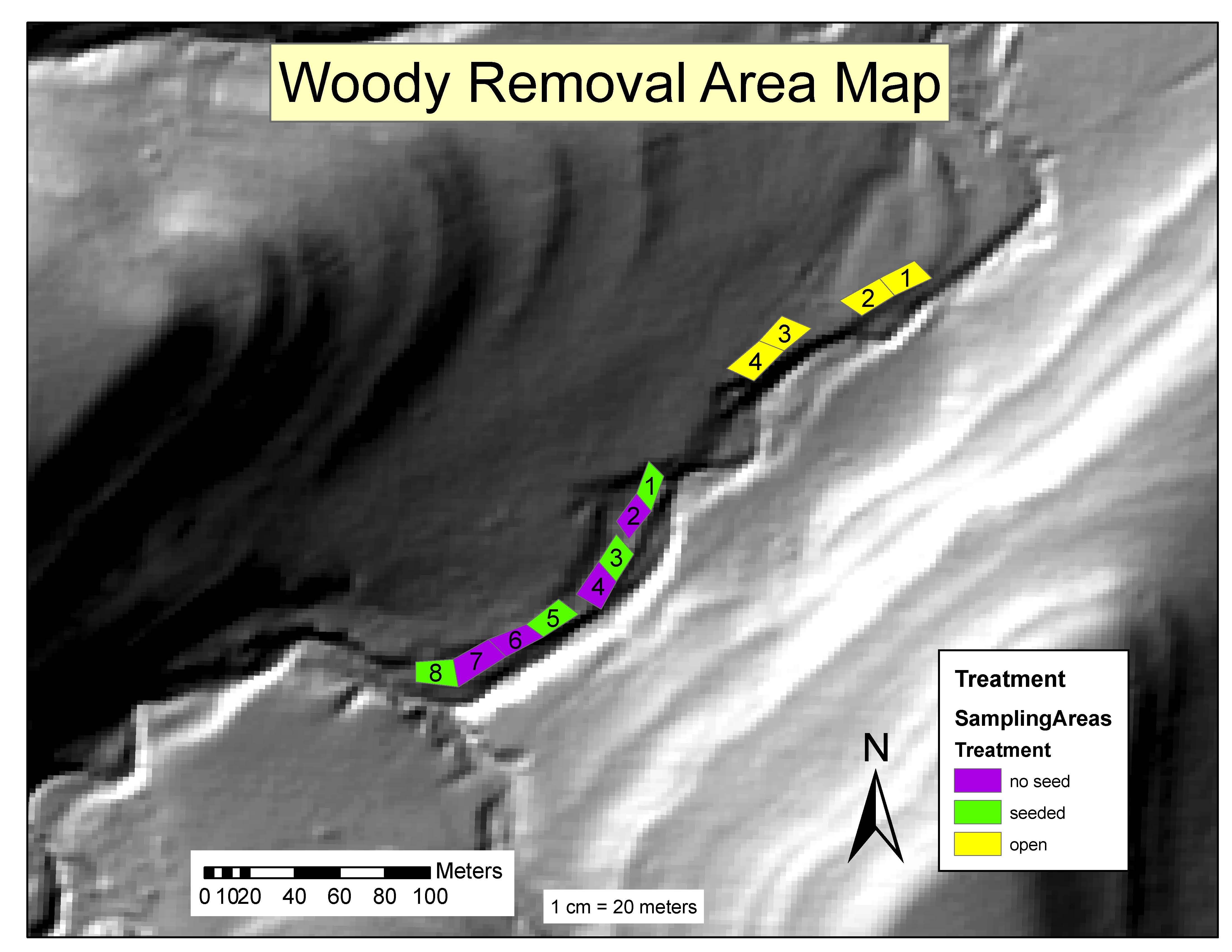
There were twelve plots (number 1-12) located within the riparian zone. In each plot were 4 transects (numbered 1-4), and along each of which there were 4 1x1m subplots (indicated by the distance along the transect) which were sampled.
Four of the twelve plots initially contained little to no woody vegetation and were sampled as a benchmark or "control". The remaining eight plots had woody vegetation removed, but four of those also were seeded with herbaceous plant species collected in nearby "open" or "prairie" habitat.
Sampling occured in each of the 192 subplots. Seven cover classes were used to estimate species canopy coverage. 1 - 0-1% cover; 2 - 2-5% cover; 3 - 5-25% cover; 4 - 25-50% cover; 5 - 50-75%; 6 - 75-95% cover; 7 - 95-100% cover.
For additional metadata information see: http://lter.konza.ksu.edu/sites/default/files/DC.pdf
For additional methods information see: http://lter.konza.ksu.edu/sites/default/files/MM.pdf